
Type an address into your phone, and up will pop a step-by-step route from where you are to where you want to be. This is, in its way, magic – magic that has, at this point, been rubbed and polished into a simple fact of life. The ease with which we machine-carrying humans make our way through the world, though, is quite new. And it’s the product of a long, painstaking history: of people plotting a course, getting lost, and finally finding their way.
But the story of navigation is more complicated than that. Looking to the constant objects of the physical world – the sun, the moon, the stars – and using them to understand, ever more precisely, how to find our way in the world, was quite more difficult than it seems.
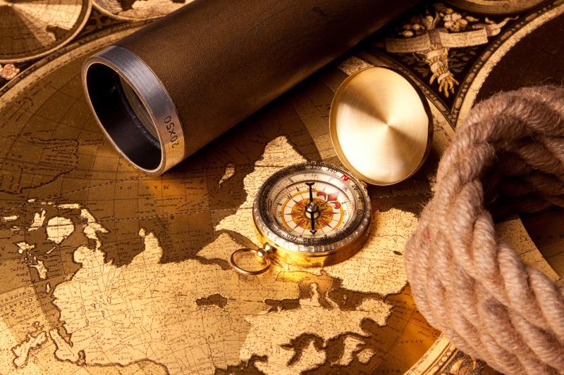
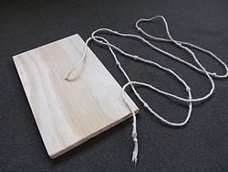
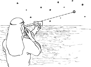
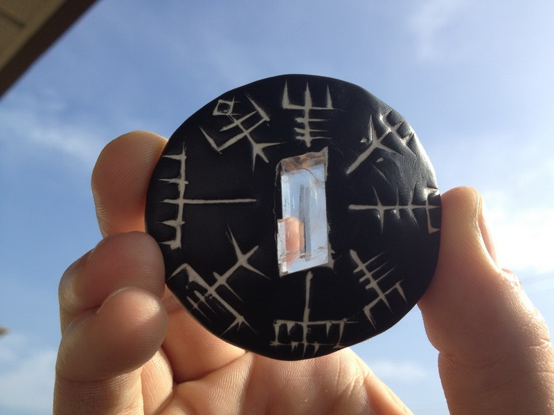
Back in the Middle Ages, there were some things that were very common during navigation. For example, Islamic geography and navigational sciences made use of a magnetic compass and a rudimentary instrument known as a kamal, used for celestial navigation and for measuring the altitudes and latitudes of the stars. The kamal itself was simple to construct. It was a rectangular piece of either bone or wood which had a string with 9 consecutive knots attached to it.
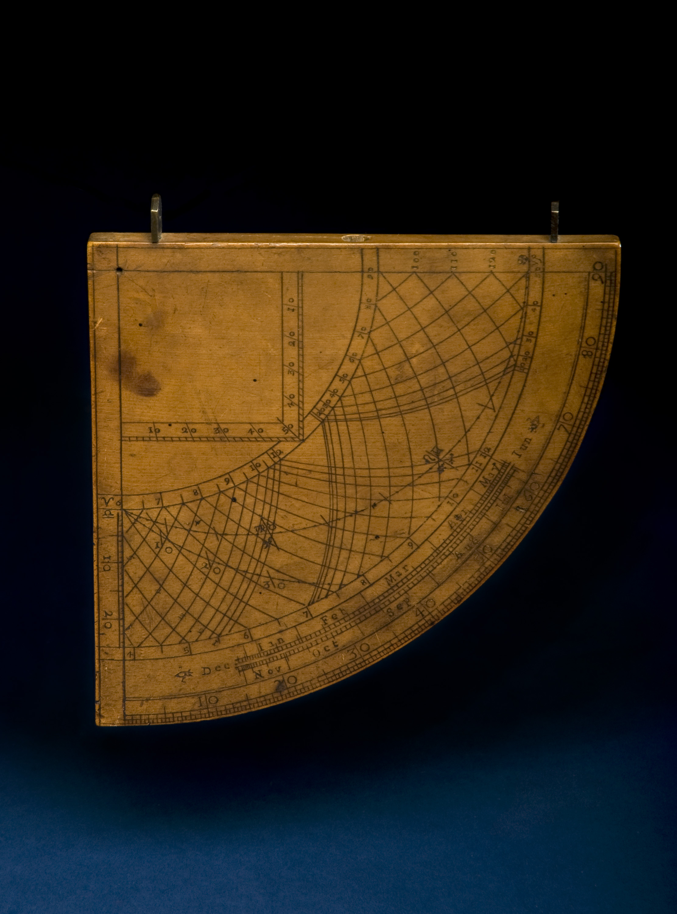
Another instrument available, developed by the Arabs as well, was the quadrant. Also a celestial navigation device, it was originally developed for astronomy and later transitioned to navigation.
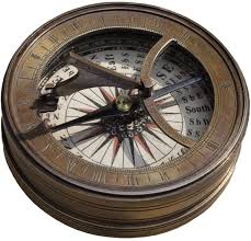
In China between 1040 and 1117, the magnetic compass was being developed and applied to navigation. This let masters continue sailing a course when the weather limited visibility of the sky. The true mariner’s compass using a pivoting needle in a dry box was invented in Europe no later than 1300. The first compasses in ancient Han dynasty China were made of lodestone, a naturally magnetized ore of iron. The compass was later used for navigation during the Song Dynasty of the 11th century. Later compasses were made of iron needles, magnetized by striking them with a lodestone. Dry compasses began to appear around 1300 in Medieval Europe and the Islamic world. This was supplanted in the early 20th century by the liquid-filled magnetic compass.
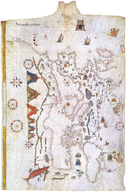
Nautical charts called portolan charts began to appear in Italy at the end of the 13th century. However, their use did not seem to spread quickly: there are no reports of the use of a nautical chart on an English vessel until 1489. Portolan or portulan charts are navigational maps based on compass directions and estimated distances observed by the pilots at sea. They were first made in the 13th century in Italy, and later in Spain and Portugal, with later 15th and 16th century charts noted for their cartographic accuracy. With the advent of widespread competition among seagoing nations during the Age of Discovery, Portugal and Spain considered such maps to be state secrets. The English and Dutch, relative newcomers, found the description of Atlantic and Indian coastlines extremely valuable for their raiding, and later trading, ships. The word portolan comes from the Italian adjective portolano, meaning “related to ports or harbors, or “a collection of sailing directions”.
Vikings used polarization and the Sunstone to allow navigation of their ships by locating the Sun even in a completely overcast sky. This special mineral was talked about in several 13th–14th century written sources in Iceland.
